All information, including survey files and history, is managed and stored in one place;
Officials have a handy overview of jobs and can register or reject a job based on the information;
Geodetic surveyors can keep track of their work, submit documents, see the history of their work;
Connected to various national registers: business register, business register, professional register;
General information on measurements is also available to the general public.
A modern map application, where different map layers from external information systems and map applications can be added to surveys.
It is possible to add a module to the system that automatically checks whether the survey files comply with the requirements of the Ministry of Economic Affairs and Communications. In the case of non-compliance with the measurement, the exact locations of the non-compliances are also indicated.
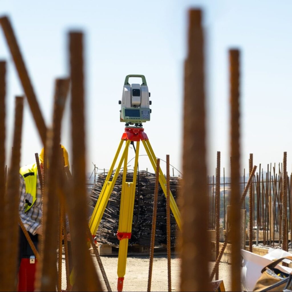
The measurer has:
Convenient way to submit surveys
Overview of registration of works
Ability to download files of previous work
Operational communication with municipalities
The information system is used by:
City of Tallinn, City of Tartu, Tartu Parish, Kambja Parish, Luunja Parish and Harku Parish.